U-Turn by USA? Map Showing PoK and Aksai Chin as Indian Territory Deleted by USTR
A significant diplomatic stir has been caused after the Office of the United States Trade Representative (USTR) deleted a social media post featuring a map of India. The map, originally posted on February 7, had shown Pakistan-occupied Kashmir (PoK) and Aksai Chin as integral parts of India, deviating from Washington’s traditional stance.
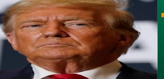
A Strategic Shift or an Error? The post was made following a landmark trade agreement where President Donald Trump reduced tariffs on Indian goods to 18%. Unlike previous US government maps that depict PoK with a dotted line as “disputed,” this map included all contested regions within the Indian boundary. This was initially seen as a major victory for Indian diplomacy.
Pressure and Retraction The sudden deletion of the post without any explanation suggests a potential diplomatic backtrack, likely due to pressure from China and Pakistan. While India maintains that these regions are its sovereign territory, the US has historically viewed Kashmir as a bilateral issue. President Trump’s repeated offers to mediate have been consistently rejected by India, reaffirming that no third-party intervention is required.

- Author
- Pashupatinath to Baidyanath Dham! 250 KM High-Speed Corridor to Boost Connectivity in Bihar February 11, 2026
- Never Start Your Car with the AC On! Avoid This Mistake to Save Up to ₹30,000 February 11, 2026
- Direct Cash Transfer of ₹1200 Monthly! Rajasthan Budget 2026 Brings Major Relief for These Families February 11, 2026
- Bullet Speed for Eicher Motors! Jefferies Sets ₹8,800 Target Post Blockbuster Q3 Results February 11, 2026
- "Epstein Called Me Two-Faced!" Hardeep Puri’s Savage Reply to Rahul Gandhi Shakes Parliament February 11, 2026